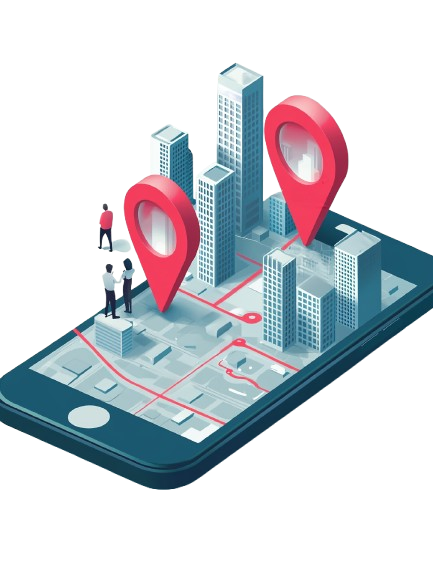
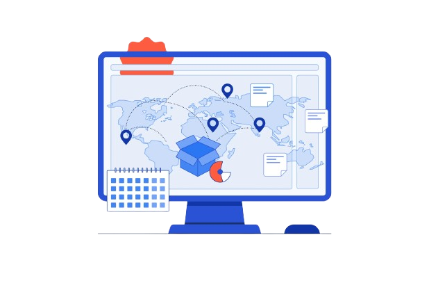
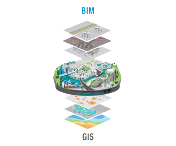
Awzpact designs and develops custom GIS applications for web and mobile platforms tailored to specific client needs. These solutions support real-time asset tracking, spatial data analysis, and geovisualization for better decision-making. We focus on creating user-friendly interfaces and integrating key location intelligence features to enhance field data operations, infrastructure management, and business intelligence. Our developers ensure cross-platform compatibility, seamless user experiences, and integration with third-party services. These applications are ideal for industries such as agriculture, logistics, smart cities, and utility management that rely on spatial data to operate efficiently and gain competitive advantages.
02
Geospatial API Development
Our Geospatial API services provide powerful and secure interfaces for embedding location-based features into your applications. Awzpact creates scalable APIs that allow seamless integration with mapping tools, geolocation data, and analytics systems, supporting high-performance data exchange, real-time services, and custom geospatial workflows. Whether you require route optimization, terrain analysis, or geofencing, our APIs are designed to handle complex spatial computations while maintaining low latency. These APIs can be customized based on business logic and integrated into ERP, CRM, or mobile systems, enabling a smoother data flow and better decision-making.
03
GIS Data Hosting and Security
Awzpact offers secure GIS data hosting solutions backed by high-availability infrastructure and robust encryption protocols. Our services ensure that sensitive geospatial data is safely stored, accessed, and managed while complying with industry security standards and disaster recovery plans. We use redundant cloud systems, data backup procedures, and real-time monitoring to protect against data breaches and downtime. Our hosting environments are scalable to meet growing data volumes and customizable to support user roles, access controls, and multi-location collaboration securely.
04
GIS Cloud Services
We provide flexible and scalable GIS cloud solutions that allow clients to store, process, and analyze large geospatial datasets remotely. Our cloud infrastructure supports real-time collaboration, elastic storage, and integration with third-party systems to enhance accessibility and performance. Clients benefit from reduced IT overhead, faster deployment, and secure access to spatial data from anywhere. We support both public and private cloud environments, allowing data sharing between departments and stakeholders, improving operational efficiency across sectors such as transportation, agriculture, and disaster management.
05
GIS Training and Consulting
Awzpact offers hands-on GIS training and expert consulting services designed to upskill your team and optimize your GIS infrastructure. We help clients understand core geospatial concepts, software tools, and advanced workflows while offering strategic guidance for GIS implementation. Our training programs are customized for beginners to advanced users and delivered via workshops, webinars, and on-site sessions. Consulting services include system audits, architecture design, and GIS strategy development to ensure sustainable and scalable geospatial solutions.
06
Geocoding and Reverse Geocoding
We provide fast, accurate geocoding and reverse geocoding services that transform addresses into geographic coordinates and vice versa. These capabilities enable businesses to optimize delivery routes, locate assets, and enrich datasets with location intelligence. Our solutions handle large batch processing and support global address formats. Whether it’s enhancing CRM systems or powering logistics apps, our geocoding tools improve operational efficiency and customer experiences through precise location mapping.
07
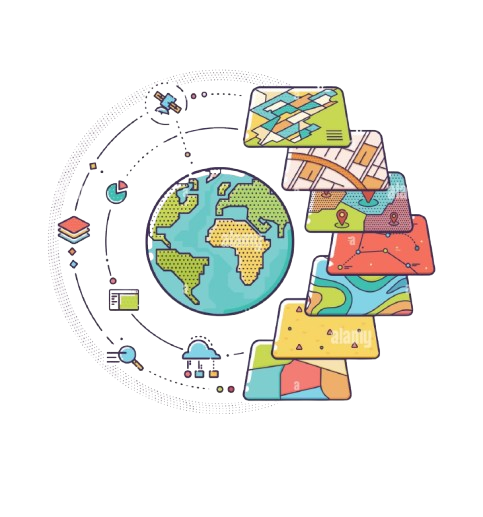
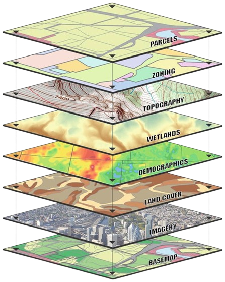
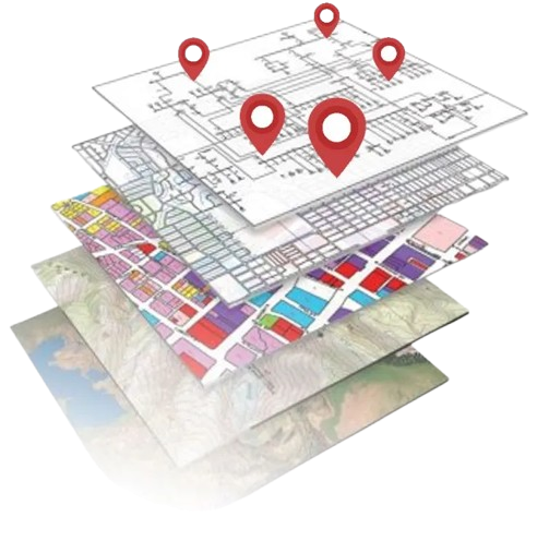
Mapping and Visualization Services
Our team specializes in developing interactive, high-quality maps and dashboards that make spatial data easy to interpret. Awzpact’s visualization tools support thematic mapping, real-time updates, and user-friendly design for various applications like urban planning, utilities, and emergency response. We use advanced GIS platforms such as ArcGIS, QGIS, and Mapbox to render intuitive visuals. With support for 2D/3D maps, custom layers, and live data feeds, we ensure your stakeholders can view, understand, and act on location data effectively.
08
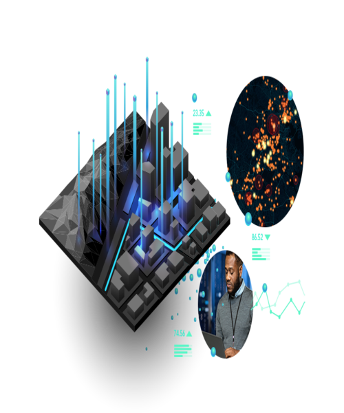
Geospatial Data Analysis and Reporting
Awzpact delivers comprehensive geospatial analytics to uncover patterns, trends, and insights in spatial datasets. We produce detailed reports and visual summaries that support planning, resource allocation, risk assessment, and operational optimization. Our experts use spatial statistics, heatmaps, cluster analysis, and predictive modeling to generate actionable insights. These analytical reports are valuable for sectors such as real estate, public safety, health, and environment, helping organizations to make informed, evidence-based decisions.
09
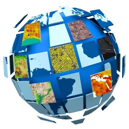
Geospatial Data Collection and Conversion
We gather geospatial data from diverse sources such as satellite imagery, surveys, and GPS and convert them into usable formats. Our data processing techniques ensure accuracy, consistency, and compatibility with your GIS systems. Whether it’s digitizing paper maps, transforming CAD files, or importing remote sensing data, we standardize all datasets to integrate seamlessly into your workflows. Our field data collection services use mobile GIS and drone-based technology for real-time updates and improved accuracy.
10
GIS Integration Services
We seamlessly integrate GIS capabilities into existing enterprise systems like ERP, CRM, or SCADA. This integration empowers clients to incorporate spatial intelligence directly into their core business processes, improving decision-making and operational efficiency. Our approach includes API connections, middleware development, and plug-in extensions to enable seamless data exchange and geospatial functionality across platforms. With robust GIS integration, businesses gain real-time geographic context to drive automation, optimize workflows, and improve customer engagement.
11
Spatial Database Design and Management
Awzpact builds and manages spatial databases that are optimized for performance, scalability, and data integrity. We ensure proper indexing, spatial queries, and schema design to support fast access to geographic and attribute data across applications. Our team works with platforms like PostgreSQL/PostGIS, Oracle Spatial, and SQL Server to implement secure, high-performing databases. These systems support both vector and raster data formats, multi-user editing, and version control, enabling reliable and collaborative GIS operations.